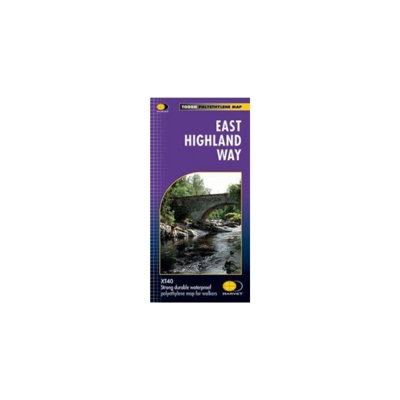
East Highland Way, a 132km / 82 miles trail.
The route links Fort Williams, the northern point of the West Highland Way and the southern point of the Great Glen Way, with Aviemore, the southern point of the Speyside Way. It can be combined with them into either a cross-Highlands trail from Glasgow to Spey Bay, or into an almost circular route from Inverness via Fort William and Aviemore back to the east coast.
This map is on a light, waterproof and tear-resistant map at 1:40,000 from Harvey Map Services presenting the route accompanied by extensive additional tourist information.


Reviews
There are no reviews yet.