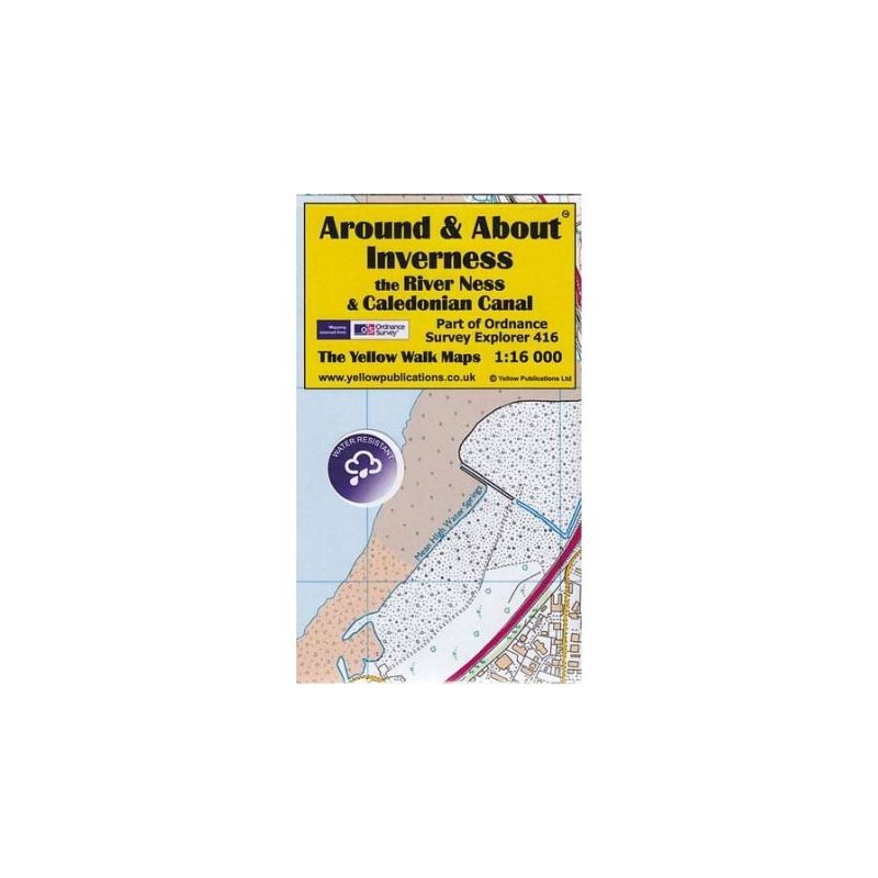
Around & About Map of Inverness, the River Ness and Caledonian Canal.
This compact, folded walking map is at a scale of 1:16 000 and is created using Ordnance Survey’s Explorer mapping data, which has been enlarged in order to present the labelling and iconography so that they are more easy to read and appreciate.


Reviews
There are no reviews yet.